AFSC/RACE/GAP/McConnaughey: Fishpac Projects-2009-GIS
Data Set (DS) | Alaska Fisheries Science Center (AFSC)GUID: gov.noaa.nmfs.inport:32443 | Updated: March 26, 2025 | Published / External
Summary
Short Citation
Alaska Fisheries Science Center, 2025: AFSC/RACE/GAP/McConnaughey: Fishpac Projects-2009-GIS, https://www.fisheries.noaa.gov/inport/item/32443.
Full Citation Examples
The broad scope of the Essential Fish Habitat (EFH) mandate requires an efficient process for describing and mapping the habitat needs of federally managed species. For example, research indicates surficial sediments affect the distribution and abundance of many groundfish species, yet traditional sampling with grabs and cores is impractical over areas as large as the Bering Sea shelf. Acoustic tools are suitable for large-scale surveying and show great promise as a substitute for direct-sampling methods, but they have not been proven useful for EFH purposes.
Distribution Information
There are no legal restrictions on access to the data. They reside in public domain and can be freely distributed.
The United States Government shall not be held liable for improper or incorrect use of data described and/or contained herein. These data and related graphics are not legal documents and are not intended to be used as such. The Alaska Fisheries Science Center gives no warranty, expressed or implied, as to the accuracy, reliability, or completeness of these data. Spatial information may not meet National Map Accuracy Standards. The information contained in these data is dynamic and may change over time. Original data were compiled from various sources. The data are not better than the original sources from which they were derived. It is the responsibility of the data user to use the data appropriately and consistent within the limitations of geospatial data in general and these data in particular. It is strongly recommended that these data are directly acquired from an Alaska Fisheries Science Center server and not indirectly through other sources which may have changed the data in some way. Although these data have been used (processed) successfully on a computer system at the Alaska Fisheries Science Center, no warranty expressed or implied is made regarding the utility of the data on another system or for general or scientific purposes, nor shall the act of distribution constitute any such warranty. This disclaimer applies both to individual use of the data and aggregate use with other data.
Controlled Theme Keywords
geoscientificInformation
Child Items
No Child Items for this record.
Contact Information
Point of Contact
Bob McConnaughey
bob.mcconnaughey@noaa.gov
Metadata Contact
Metadata Coordinators MC
afsc.metadata@noaa.gov
Extents
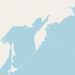


167.629578° W,
-159.494258° E,
58.326746° N,
54.925765° S
More elaborate than a keyword.
2006-08 - 2009-08

