AFSC/RACE/GAP/McConnaughey: Pribilof Hydro-2009-Photos
Data Set (DS) | Alaska Fisheries Science Center (AFSC)GUID: gov.noaa.nmfs.inport:32502 | Updated: January 15, 2024 | Published / External
Summary
Short Citation
Alaska Fisheries Science Center, 2025: AFSC/RACE/GAP/McConnaughey: Pribilof Hydro-2009-Photos, https://www.fisheries.noaa.gov/inport/item/32502.
Full Citation Examples
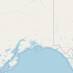
The "add on" project area surveyed depths between the 27 and 175 meter depths around St. George Island and St Paul Island in the Central Bering Sea. Full bottom coverage, consisting of 100% multibeam data was achieved within the limits of hydrography for this survey. One hundred percent backscatter data was acquired and stored by TerraSond, Ltd to be processed by the client. The data were collected from the R/V Mount Mitchell by Terrasond, Inc using a Simrad EM710 multibeam echosounder.
Distribution Information
Controlled Theme Keywords
geoscientificInformation, oceans
Child Items
No Child Items for this record.
Contact Information
Point of Contact
Bob McConnaughey
bob.mcconnaughey@noaa.gov
Metadata Contact
Steve Intelmann
steve.intelmann@noaa.gov
(206) 526-4157
Extents
2009-06-03 - 2009-06-21