2016 NOAA NGS Topobathy Lidar DEM: Sugarloaf Key to Big Pine Key, Florida
Data Set (DS) | Office for Coastal Management (OCM)GUID: gov.noaa.nmfs.inport:53125 | Updated: May 15, 2025 | Published / External
Summary
Short Citation
Office for Coastal Management, 2025: 2016 NOAA NGS Topobathy Lidar DEM: Sugarloaf Key to Big Pine Key, Florida, https://www.fisheries.noaa.gov/inport/item/53125.
Full Citation Examples
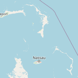
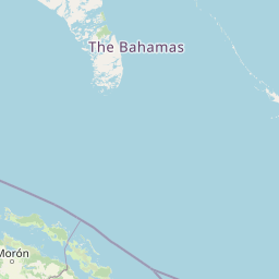
These data were collected by NOAA using a Riegl VQ880G sensor. The data were acquired from October 11, 2016 through October 24, 2016. The data includes topobathy data in LAS 1.2 format classified as created, unclassified (1); ground (2); Noise (7); Bathymetric Noise (22); Water Column (25); bathymetric bottom (26); water surface (27); derived water surface (28); Submerged object (29); International Hydrographic Organization S-57 object (30), in accordance with project specifications. The project consists of approximately 190 square miles of data along the shores of the Florida Keys. This dataset contains 1,997 500 m x 500 m lidar tiles.
Original contact information:
Contact Org: National Oceanic and Atmospheric Administration (NOAA), National Ocean Service (NOS), National Geodetic Survey (NGS), Remote Sensing Division
Title: Chief, Remote Sensing Division
Phone: 240-533-9576
Distribution Information
-
Create custom data files by choosing data area, product type, map projection, file format, datum, etc.
-
Simple download of data files.
None
Users should be aware that temporal changes may have occurred since this data set was collected and some parts of this data may no longer represent actual surface conditions. Users should not use this data for critical applications without a full awareness of its limitations.
Controlled Theme Keywords
BATHYMETRY, COASTAL ELEVATION, elevation, TOPOGRAPHICAL RELIEF MAPS
Child Items
No Child Items for this record.
Contact Information
Point of Contact
NOAA Office for Coastal Management (NOAA/OCM)
coastal.info@noaa.gov
(843) 740-1202
https://coast.noaa.gov
Metadata Contact
NOAA Office for Coastal Management (NOAA/OCM)
coastal.info@noaa.gov
(843) 740-1202
https://coast.noaa.gov
Extents


2016-10-11 - 2016-10-24