Valuing the Ecosystem Services of Southern Maine Watersheds - NERRS/NSC(NERRS Science Collaborative)
Data Set (DS) | Office for Coastal Management (OCM)GUID: gov.noaa.nmfs.inport:57775 | Updated: August 9, 2022 | Published / External
Summary
Short Citation
Office for Coastal Management, 2025: Valuing the Ecosystem Services of Southern Maine Watersheds - NERRS/NSC(NERRS Science Collaborative), https://www.fisheries.noaa.gov/inport/item/57775.
Full Citation Examples
Along the coast of southern Maine, the need to conserve natural buffers in order to protect rivers and wetlands has become a focal point for tensions between development and conservation interests. In this rapidly developing landscape, decision-makers often feel they must choose development over conservation or restoration to support local economies. While there is scientific evidence that underscores the value of protecting natural buffers around sensitive water bodies, local decision-makers need additional place-based, economic information about the ecosystem services that these lands provide and the range of tradeoffs that are implied in related land use decisions.
Distribution Information
No Distributions available.
Access Constraints:None
Cite this dataset when used as a source: NOAA retains the right to analyze, synthesize and publish summaries of the NERRS/NSC data. The NERRS/NSC retains the right to be fully credited for having collected and process the data. Following academic courtesy standards, the NERR site where the data were collected should be contacted and fully acknowledged in any subsequent publications in which any part of the data are used. The data enclosed within this package/transmission are only as accurate as the quality assurance and quality control procedures that are described in the associated metadata reporting statement allow. The user bears all responsibility for its subsequent use/misuse in any further analyses or comparisons. The Federal government does not assume liability to the Recipient or third persons, nor will the Federal government reimburse or indemnify the Recipient for its liability due to any losses resulting in any way from the use of this data. Requested citation format: NOAA National Estuarine Research Reserve System (NERRS) Science Collaborative(NSC).
Controlled Theme Keywords
ESTUARY
Child Items
No Child Items for this record.
Contact Information
Metadata Contact
Jeremy Cothran
jeremy.cothran@gmail.com
Extents
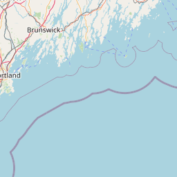
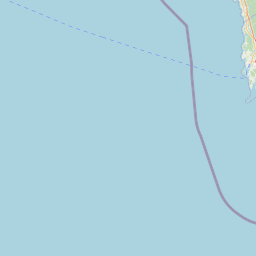
-70.597° W,
-70.536° E,
43.347° N,
43.26° S
Wells, ME NERR
2010-09-01 - 2015-07-01