2011 FEMA Lidar DEM: Modoc, California
Data Set (DS) | OCM Partners (OCMP)GUID: gov.noaa.nmfs.inport:61272 | Updated: January 10, 2024 | Published / External
Summary
Short Citation
OCM Partners, 2025: 2011 FEMA Lidar DEM: Modoc, California, https://www.fisheries.noaa.gov/inport/item/61272.
Full Citation Examples
Digital Mapping Inc. collected lidar data for the Federal Emergency Management Agency (FEMA) in Region 9, Modoc, CA. This bare earth digital elevation model (DEM) dataset encompasses 21 square miles, while the lidar point cloud from which this DEM was derived covers a total of 43 square miles (linked to in the Related Items section, below). Nominal pulse spacing of collection was <1 m.
Distribution Information
-
Create custom data files by choosing data area, product type, map projection, file format, datum, etc. A new metadata will be produced to reflect your request using this record as a base.
-
GeoTIFF
Bulk download of data files in original coordinates and datums.
None
Users should be aware that temporal changes may have occurred since this data set was collected and some parts of this data may no longer represent actual surface conditions. Users should not use this data for critical applications without a full awareness of its limitations.
Controlled Theme Keywords
COASTAL BATHYMETRY, COASTAL ELEVATION, elevation, TERRAIN ELEVATION
Child Items
No Child Items for this record.
Contact Information
Point of Contact
NOAA Office for Coastal Management (NOAA/OCM)
coastal.info@noaa.gov
(843) 740-1202
https://coast.noaa.gov
Metadata Contact
NOAA Office for Coastal Management (NOAA/OCM)
coastal.info@noaa.gov
(843) 740-1202
https://coast.noaa.gov
Extents
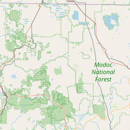
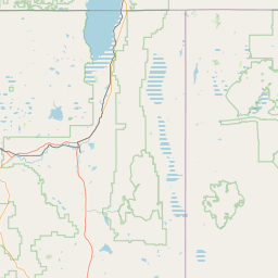
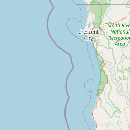
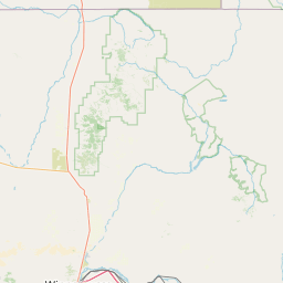
-120.58570417° W,
-120.44318533° E,
41.51813209° N,
41.3914362° S
2011-05-04