1980 Marinette County, WI NOAA Black & White 8 Bit Imagery
Data Set (DS) | Office for Coastal Management (OCM)GUID: gov.noaa.nmfs.inport:64750 | Updated: February 5, 2024 | Published / External
Summary
Short Citation
Office for Coastal Management, 2025: 1980 Marinette County, WI NOAA Black & White 8 Bit Imagery, https://www.fisheries.noaa.gov/inport/item/64750.
Full Citation Examples
Historic aerial imagery for the Great Lakes shoreline of Lake Michigan was provided by the Bay-Lake Region Planning Commission (BLRPC). This imagery was captured in November 1980 by Aero-Metric Engineering, Inc. and archived by the BLRPC by Range/Township on mylar sheets at a scale of 1"=800'. Under contract to NOAA, Dewberry obtained the mylar sheets from BLRPC, scanned them at 600 DPI, and georeferenced the scanned images.
Distribution Information
-
GeoTIFF
Downloadable Data
-
Simple download of data files.
None
None. However, users should be aware that temporal changes may have occurred since this data set was collected and that some parts of this data may no longer represent actual surface conditions. Users should not use this data for critical applications without a full awareness of its limitations.
Controlled Theme Keywords
imageryBaseMapsEarthCover, INFRARED IMAGERY, VISIBLE IMAGERY
Child Items
No Child Items for this record.
Contact Information
Point of Contact
NOAA Office for Coastal Management (NOAA/OCM)
coastal.info@noaa.gov
(843) 740-1202
https://coast.noaa.gov
Metadata Contact
NOAA Office for Coastal Management (NOAA/OCM)
coastal.info@noaa.gov
(843) 740-1202
https://coast.noaa.gov
Extents


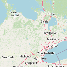
-87.76555555556° W,
-87.49583333333° E,
45.11388888889° N,
44.92611111111° S
1980-11