Chief Scientist’s Weather Report: A chance of showers and thunderstorms, then showers likely and possibly a perfect storm of deep-sea coral data.
The U.S. and Canada share Jordan Basin in the Gulf of Maine. In the past we surveyed areas in the basin on both sides of the boundary (the Hague Line), sharing information and data that will help protect deep-sea coral habitats no matter what country they’re in. After all, animals don’t respect boundaries. Like Corsair Canyon and the Northeast Channel (see Mission Logs #4 and #6), the Canadian side of Jordan Basin was declared a “Sensitive Benthic Area.” So, armed with new bathymetric maps that Matt Poti created, thanks to new bathymetric data supplied to us courtesy of the NOAA ship Thomas Jefferson, we set out on June 23 to survey some promising areas on both sides of the line at depths from 230-205 meters.

We started on the Canadian side, traversing muddy areas and going from rock outcrop to rock outcrop. We weren’t expecting much, but boy were we wrong! Coral gardens everywhere, and as good as we’ve seen in western Jordan Basin and Outer Schoodic Ridges. As usual, there were abundant and often dense colonies of Primnoa on the more vertical sides of outcrops and walls, with abundant yellow and purple Paramuricea on both walls and the more horizontal areas.

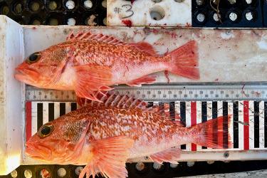
Sponges and anemones were also abundant, and many redfish hung out in the Primnoa. We made sure to take samples of several of the corals for taxonomic, aging, and genetic studies.
After we surveyed the last site on the Canadian side, we had a long traverse over muddy bottom as we crossed the Hague Line into U.S. waters and headed toward our first series of outcrops.

Yet again, we were surprised by the abundant and dense stands of corals on the rock outcrops. As an added bonus, we found a couple of small colonies of the white bubblegum coral amongst the Primnoa, a rare sight in these waters. Unfortunately, we also saw a number of plastic bags or other material and lost fishing gear wrapped around and smothering some of the corals.

Nevertheless, it was an exciting and satisfying day. We have two new areas in the Gulf that we know are full of corals. All this was made possible by the new bathymetry maps of this area of the Gulf. How many more deep-sea coral habitats would we find if we had more excellent quality bathymetry maps of the Gulf of Maine seafloor?
Dave Packer, NOAA Fisheries Northeast Fisheries Science Center